As I mentioned on the latest episode of The Practical Ed Tech Podcast, last week I was reminded of a great little geography site called Overlap Maps. I hadn’t used it in a long time so I went to see if it was still functioning as it did when I was regularly using it seven years ago. I was pleased to find that Overlap Maps still works as well as it did when I first started using it in 2012.
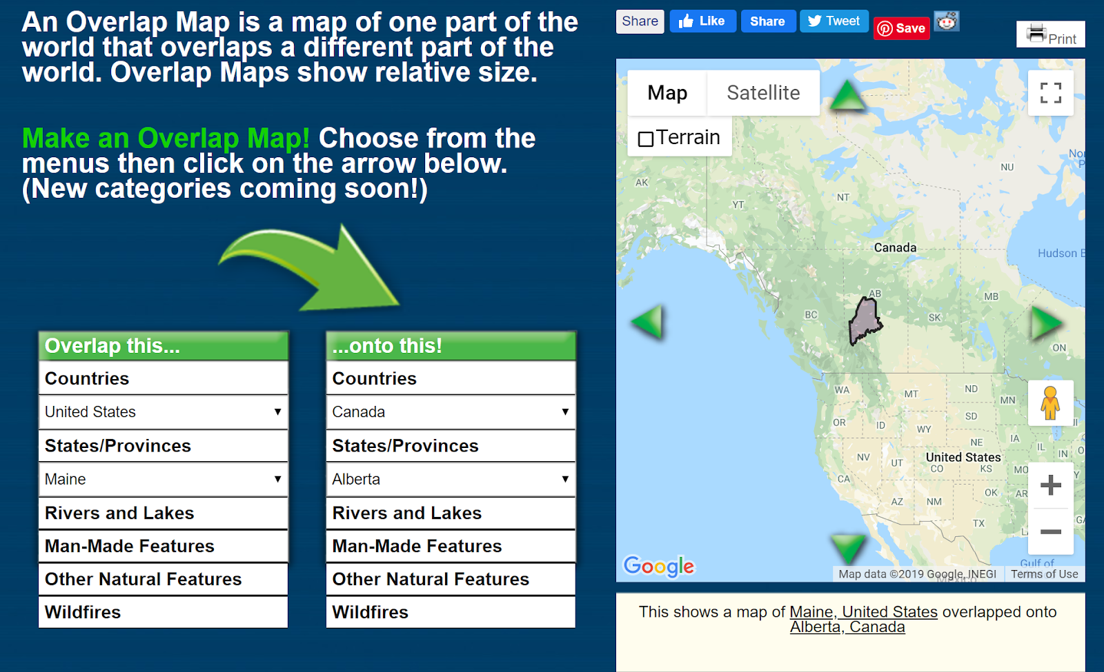
Overlap Maps can be used to quickly create visual comparisons of the size of countries, states, provinces, and some bodies of water. To create a comparison of two countries select one country from the “overlap this” menu and select one country from the “onto this” menu. The comparisons you make are displayed on a map. You can make comparisons from different categories. For example, you can overlap Lake Ontario onto the state of Rhode Island. Or, as is pictured in my screenshot, you can compare the size of a state in one country to that of a province in another.
Applications for Education
Overlap Maps is a handy little tool to help students gain perspective of the relative size of places that they study in their geography lessons.


