Earlier this week I stumbled upon a local radio station’s blog in which they had posted a little game called How Well Do You Know Maine Roads? That game was nothing more than ten Google Maps Street View images that you had to try to identify. The answers to the game prompts were posted at the bottom of the blog post.
As I looked at the game I thought that it was an instructive model for creating games to use with students. You could embed a series of Street View images into a post on your classroom blog and then have students submit their answers into a Google Form that provides them with instant feedback. Your Street View images could be of local places to test your students’ knowledge of local geography. Alternatively, you could test your students’ knowledge of world geography by embedding Street View imagery of UNESCO World Heritage Sites.
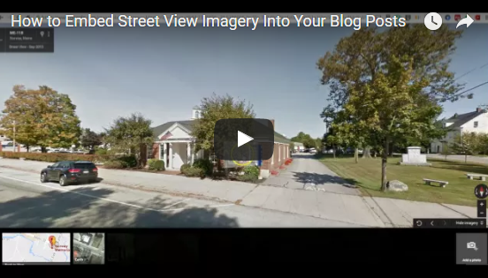
In the video embedded below I demonstrate how to embed Street View imagery into your blog posts.
If you want to use Google Forms to collect responses from students and give them instant feedback, watch the following video to learn how to do that.


