America’s Quietest Roads is an interactive map created by a road traffic analytics company called Geotab. The map features the quietest state or federal highway in all fifty states. They define quietest as having the least average number of vehicles traveling the road throughout the year 2015.
It’s important to point out to students that the data is representative of state and federal highways. I’m sure that you can find quieter roads in your state, I know I can, than what is represented on the map. None-the-less, America’s Quietest Roads does provide a nice way to virtually explore scenic and quiet roads around the United States.
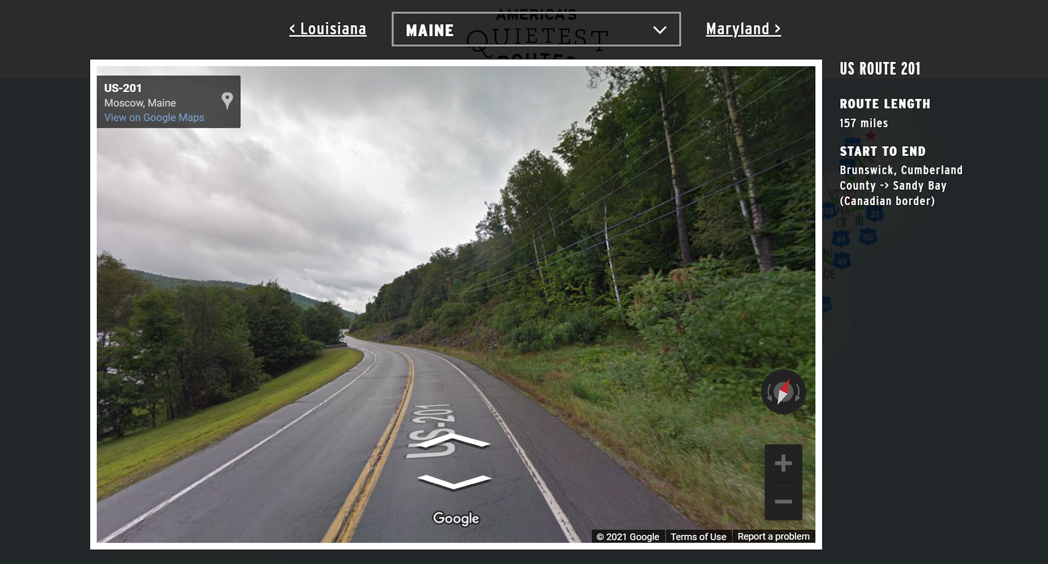
When you click on a road on the America’s Quietest Roads map you’ll see a pop-up window that includes a Google Street View image of the road and some basic information about the length of the road. You can click through the Street View imagery to explore more of the road or click on the Google Maps link to view the road in a larger context.
Applications for Education
America’s Quietest Roads could be a fun map for students to explore to see the scenery of various parts of the United States. I’d also consider having students think about and investigate what makes a road more or less traveled than another.
H/T to Maps Mania.


