 Return to Sender provides an interesting way for students to find and read postcards sent to and from soldiers during World War I. Return to Sender is an interactive map on which students can see where postcards were sent in Europe during World War I. The postcards displayed through the map are part of the Europeana 1914-18 thematic archive.
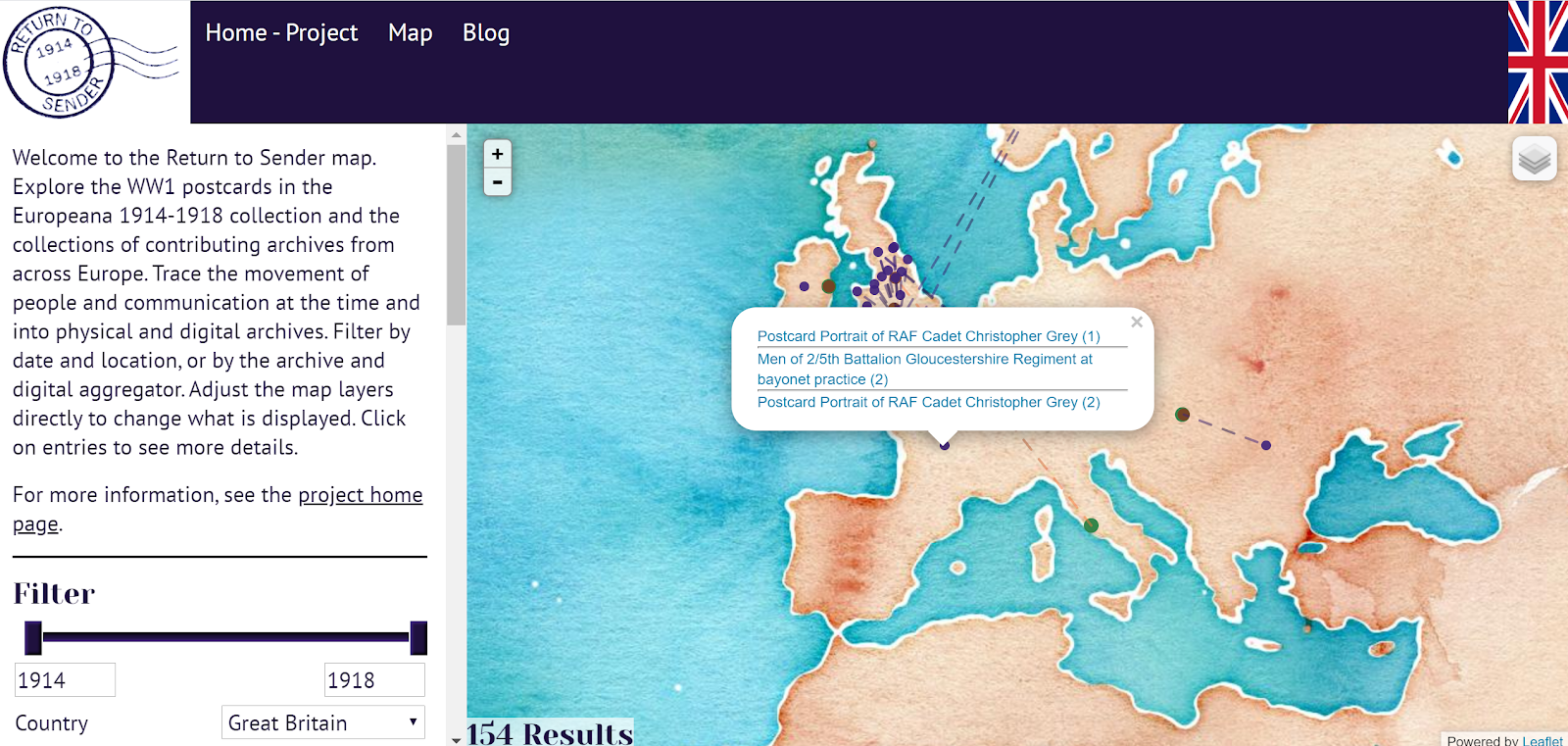
There are a few ways that students can explore the Return to Sender map. Probably the easiest option for students is to just select a country from the drop-down menu on the left side of the map. Once a country has been chosen the map will be populated with interactive markers depicting from where the postcards were sent. Clicking on a marker will reveal the postcards. Students can then click on the postcards to read more about them and who archived them. In most cases students can read a little story about the postcard and or read the card itself.
Applications for Education
Return to Sender combines two of my favorite things to use in history lessons. Those things are maps and primary source documents. This combination lets students experience the primary sources in the context of where they were written.
It is possible to create your map in a similar style with Google’s My Maps or Google Earth. You could import PDFs or PNGs of primary sources into placemarks on the map. Doing that could make for a nice local history project. I’ll show you how to do that in my upcoming course, Teaching History With Technology.
H/T to Maps Mania for the map.


