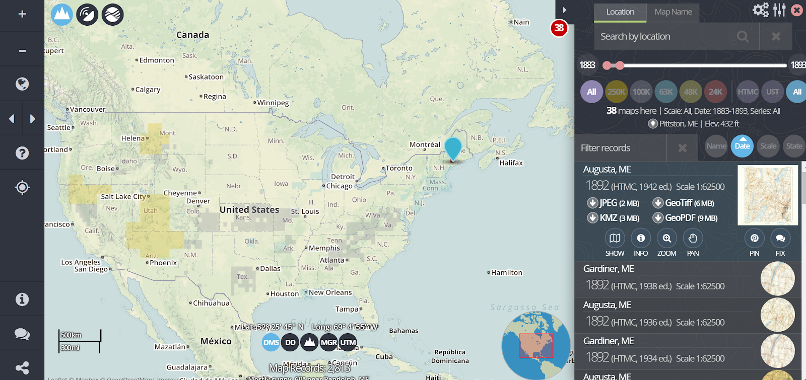
There are some good historical map collections available in Google Earth. But you can also import your own historical maps into Google Earth. topoView is a good place to find historical maps that you can import into Google Earth. topoView is a USGS website that provides historical maps dating back to 1880. You can download the maps in variety of file formats including JPG and KMZ. In the following video I demonstrate how to find and download historical maps on the topoView website.
Applications for Education
One of my favorite uses of Google Earth in history classes is overlaying historical maps on current map views. Doing that can provide students with context for places they read about in history lessons. Doing that also provides a good way to see how places change over time.
You can learn more about using Google Earth in history lessons in my upcoming course, Teaching History With Technology. Register by January 6th!


