This morning while browsing through Google Earth looking for a resource about sharks for Shark Week (I found it) I came across a Google Earth voyage about Lewis and Clark.
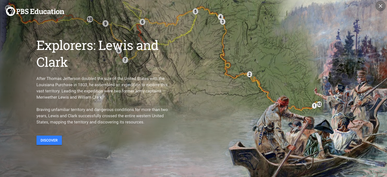
The Google Earth voyage titled Explorers: Lewis and Clark contains twelve multimedia placemarkers documenting the outbound and return journey of the Lewis and Clark expedition. Each stop in the voyage contains a gallery of pictures and or videos related to significant landmark on the expedition. The placemarks are displayed on the righthand side of the screen while the map is displayed to the left. You can drag the Google Earth Pegman to the map to see each of the locations in Street View instead of just in satellite imagery. Explorers: Lewis and Clark was constructed using media from the PBS series about the Lewis and Clark expedition.
Lesson Plans
The Smithsonian’s Lewis and Clark page offers lesson plans for elementary grades and middle school grades. The elementary school lesson plan is titled Animal Encounters. Animal Encounters is a two part lesson in which students draw pictures and write descriptions of the animals Lewis and Clark encountered on their journey.
DocsTeach offers a detailed activity for high school students to complete by analyzing documents and maps related to Lewis and Clark’s expedition. You can customize the activity for your students by creating a free DocsTeach account and then making an editable copy of the activity.


