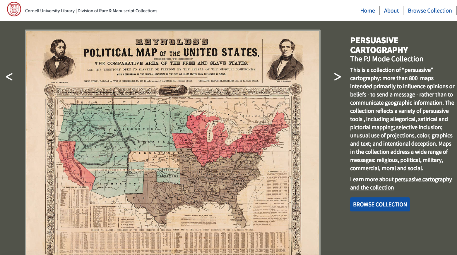
About a week ago Open Culture published an article about Cornell University’s Persuasive Cartography collection. I hadn’t seen that collection before so I went down a rabbit hole looking at map after map for a good 45 minutes.
Persuasive maps aren’t maps that you would use to teach a classic geography lesson. That’s because persuasive maps are maps that were created for the purpose of sending a message. In Cornell University’s Persuasive Cartography collection you will find maps that were created to persuade and satirize. The maps in this collection date back as far as 1491 and up to 2012. Browse through the collection and you’ll find maps about the Cold War, imperialism, moral issues, social causes, and plenty of maps related to various war efforts.
Applications for Education
You can browse Cornell University’s Persuasive Cartography collection from the homepage of the collection. The better way to search and browse is to jump directly into collection listings here.
I found the collection of maps related to imperialism to be particularly interesting. The maps in the collection show a variety of viewpoints geographically, politically, and historically with regards to imperialism. I’d use that collection that spark discussion in my classroom about what imperialism means, who it affects, and how viewpoints change over time.
If you teach high school or middle school students, StoryMap JS is a good tool for telling stories through the use of maps, text, and multimedia.


