
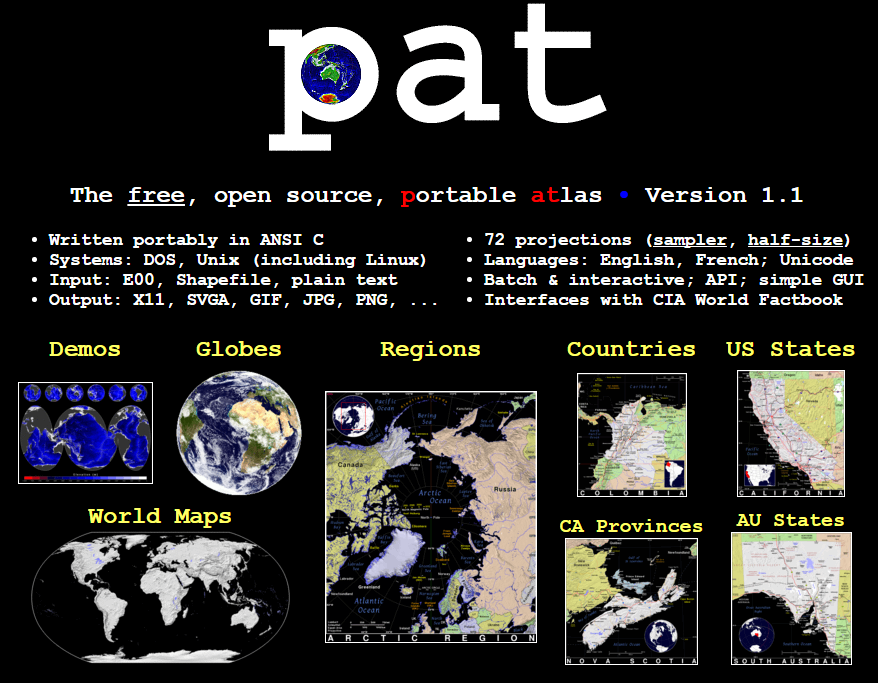
PAT is a free collection of maps developed by Ian Macky. The collection includes maps of every country in the world.The collection also includes maps of U.S. states, maps of Canadian provinces, Australian states, and regional maps. You can download any and all of these detailed maps for free.
Applications for Education
PAT is an excellent resource for geography and history teachers in need of some free, printable maps to use in their classrooms.


