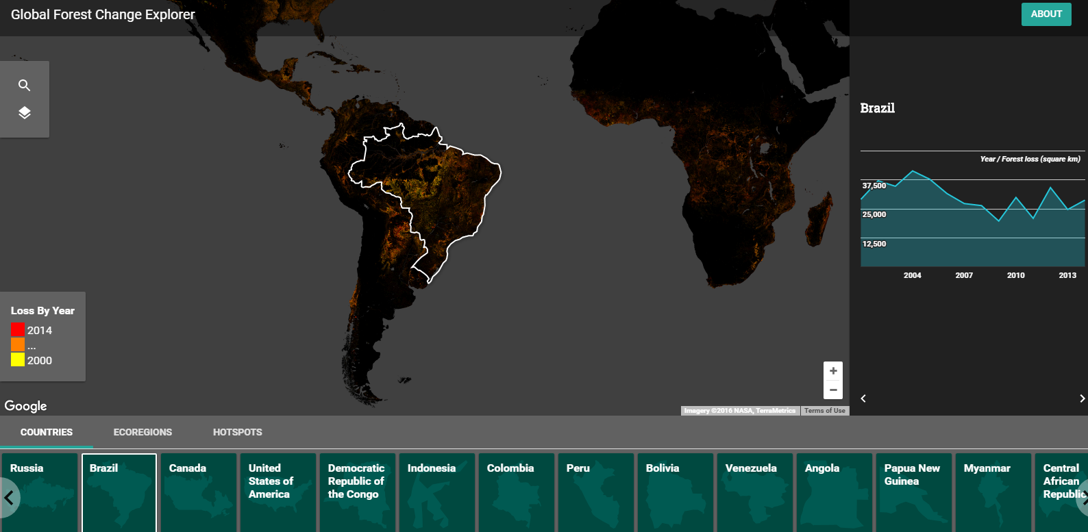
The Global Forest Change Explorer is a new Google Maps product that provides visualizations of patterns in global deforestation. The Global Forest Change Explorer was developed in conjunction with Science in the Classroom and Dr. Matt Hansen of the University of Maryland.
On the Global Forest Change Explorer you can view patterns in deforestation and explore causes of deforestation. The map has three basic sections that you can explore. Those sections are countries, ecosystems, and hotspots. The hotspots section includes questions for students to investigate to discover the cause of deforestation in that location.

Applications for Education
The Global Forest Change Explorer offers a set of basic research questions for students to investigate. That question sheet can be downloaded as a PDF.
The Global Forest Change Explorer is a good example of the type of data that can be visualized in Google Maps. Students can use Google’s My Maps in Google Drive to create their own visualizations of other data sets for things like erosion patterns, drought patterns, or changes in availability animal habitat. My playlist of Google Maps tutorials is embedded below.


